

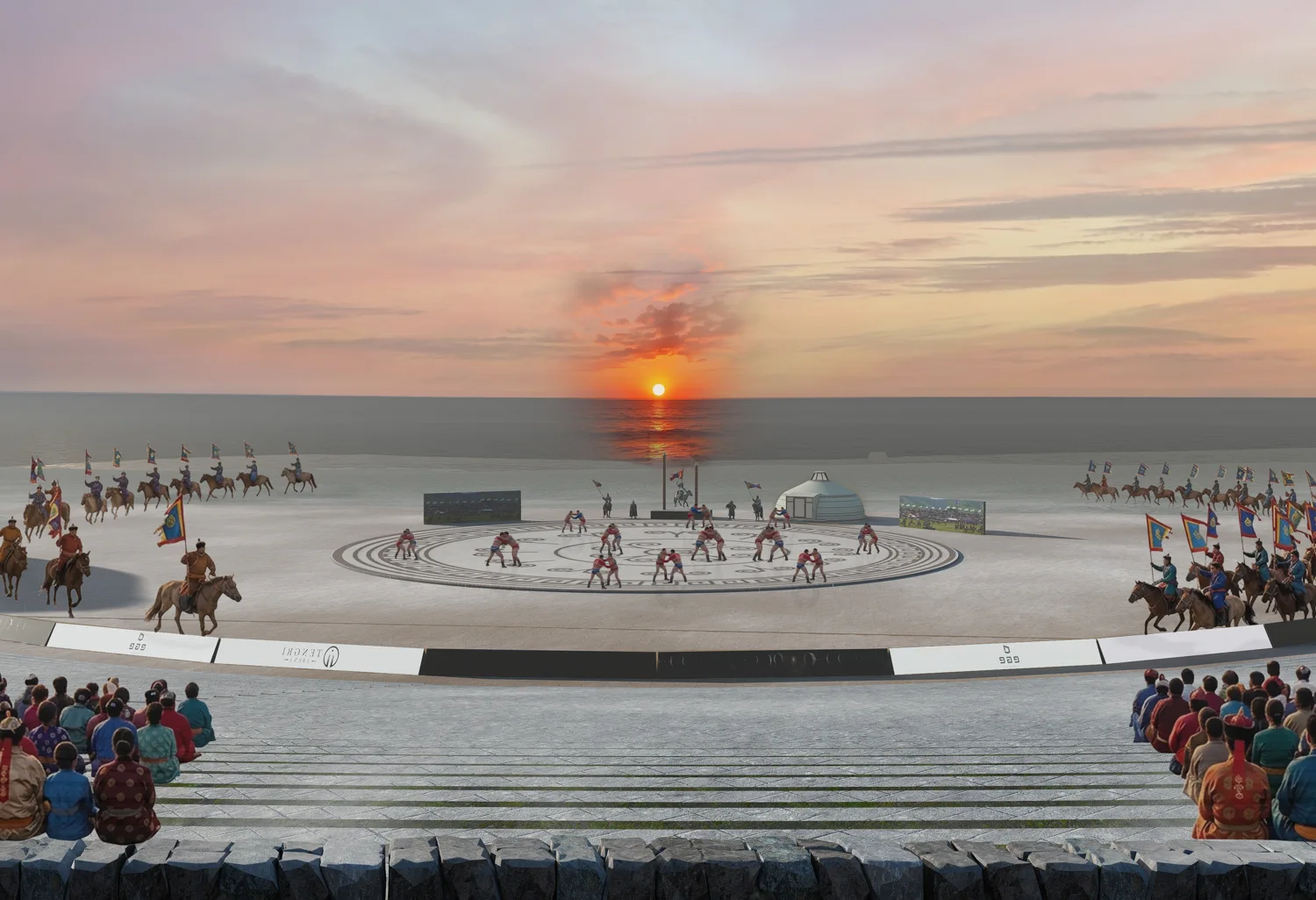
Nature itself is the amphitheatre.
The sky is the roof, the mountains the walls, the sun and moon the lights, and the steppe and lake the stage. The Tengri Arena proposal brings competition, ceremony, and spectators into this natural setting.
LOCATION SCHEMATIC
The way to Urum Nuur.
Find the gathering in the forest-steppe of Bulgan. These maps and site figures come from the architectural planning material.
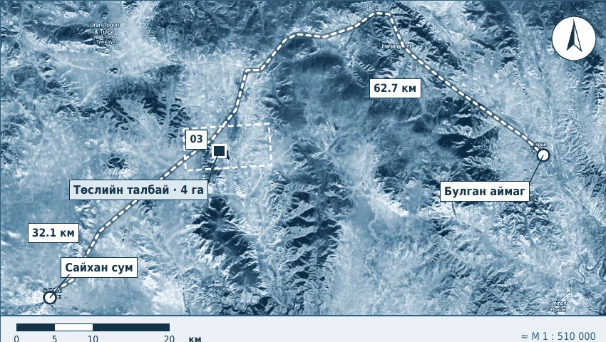
- Location
- Urum Nuur · Saikhan soum · Bulgan, Mongolia
- Proposed site area
- 4 ha · 40,000 m² · approximately 200 × 200 m
- Estimated elevation
- 1,200–1,500 m above sea level
- Lake position
- Directly beside the eastern edge of the site
Distance references
The source combines reference distances and diagram measurements. The entries below are separate planning figures, not one confirmed driving itinerary.
The PDF also cites a separate Ulaanbaatar–Saikhan reference of 419 km. Final access routes, road conditions, transport and accommodation need confirmation from the organizer.
| Connection | Distance |
|---|---|
| Ulaanbaatar → proposed site, via BulganPlanning total | ≈ 531 km |
| Bulgan city → proposed siteDiagram estimate | 62.7 km |
| Saikhan centre → proposed siteDiagram estimate | 32.1 km |
| Ulaanbaatar → Bulgan cityReference distance | ≈ 468 km |
| Bulgan city → Saikhan centreReference distance | ≈ 99 km |
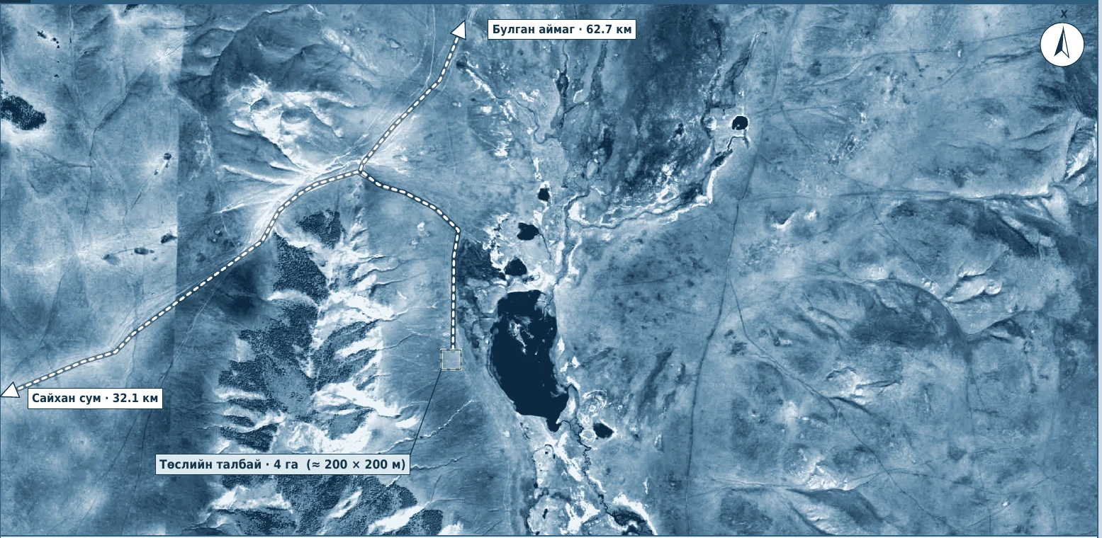
Forest, steppe & lakeshore
Wooded, sloping hills lie to the west. Lower valleys, open steppe, small lakes and springs extend to the east and south. Dirt roads lead toward Saikhan and Bulgan.
Approximate position
48.8° N, 103.0° E (±5 km)
The source coordinates and map scales are approximate. This is not a surveyed boundary or an arrival pin; the maps change scale on screen.
Winter in the region
Long-term Bulgan city figures quoted in the planning PDF. These are regional references, not a forecast for the lake or festival day.
- January average
- −20.8°C
- July average
- +17.7°C
- Annual precipitation
- 306mm
- Extreme low in the source
- −41.6°C
Köppen Dwc: very cold winters and mild summers. Most precipitation falls in June–August.
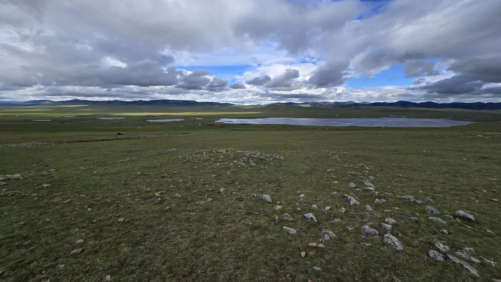
THE PLACE BEHIND THE GATHERING
The lake. The land. The open horizon.
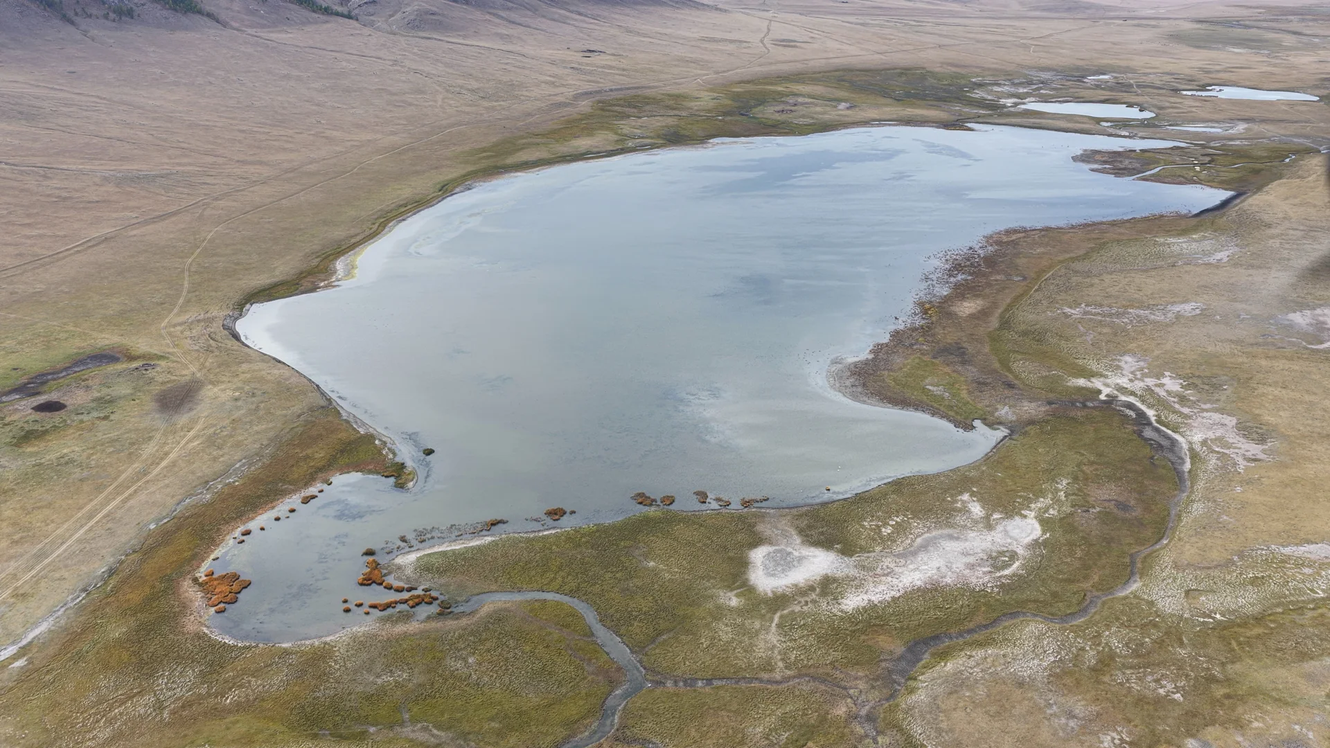
Explore the lakeshore and surrounding hills in photographs and drone footage from Urum Nuur.
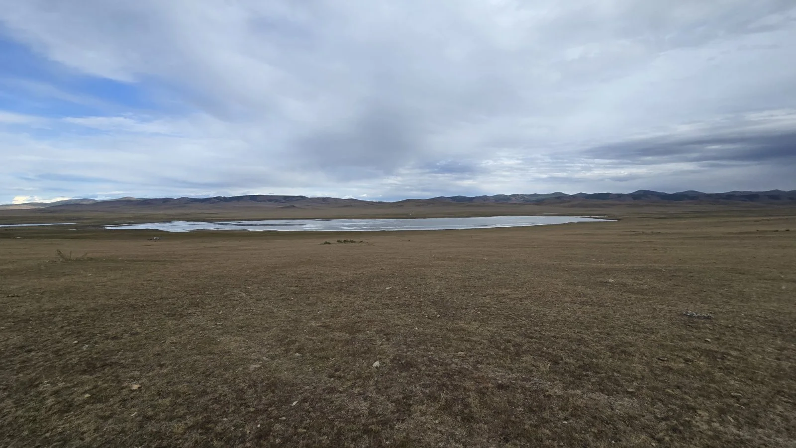
A VIEW FROM ABOVE
Follow the shoreline.
Drone footage of the actual location. Press play to explore.
TENGRI ARENA
Explore the site plan.
Hover over the plan or choose a legend item. On a phone, tap an area or select its name below.
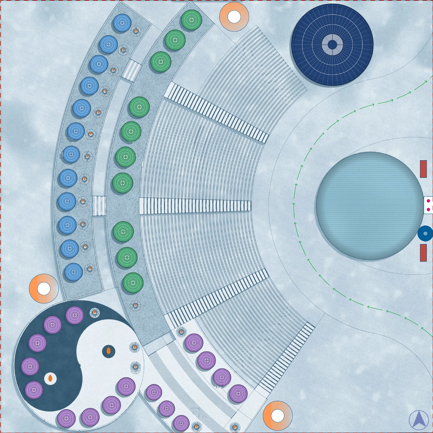
An architectural proposal. The source scale changes when viewed on screen; use this plan to explore the layout, not to measure distances.
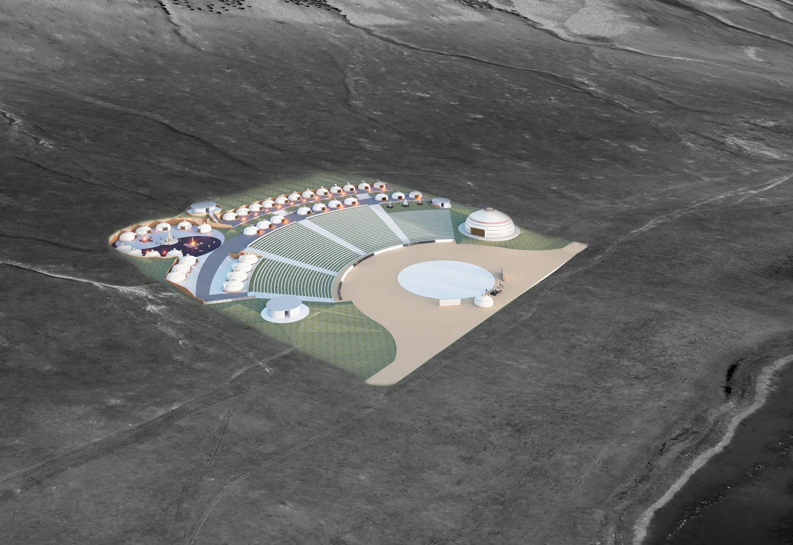
The Luut Palace concept will be presented when its separate architectural specification is available.
TENGRI ARENA
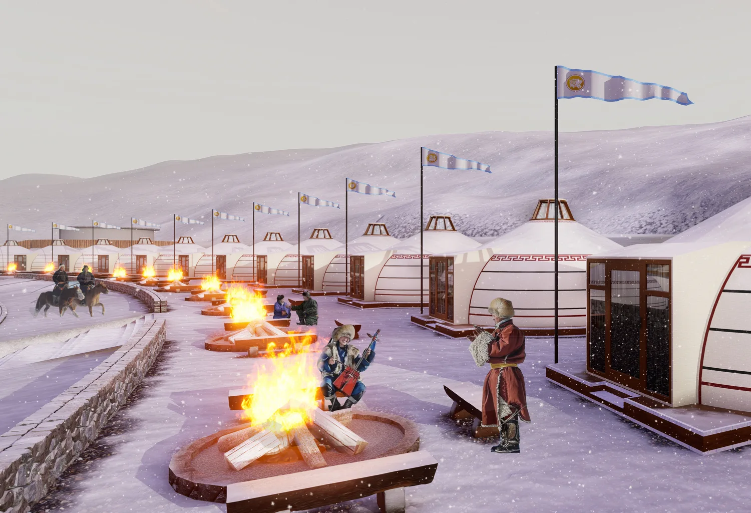
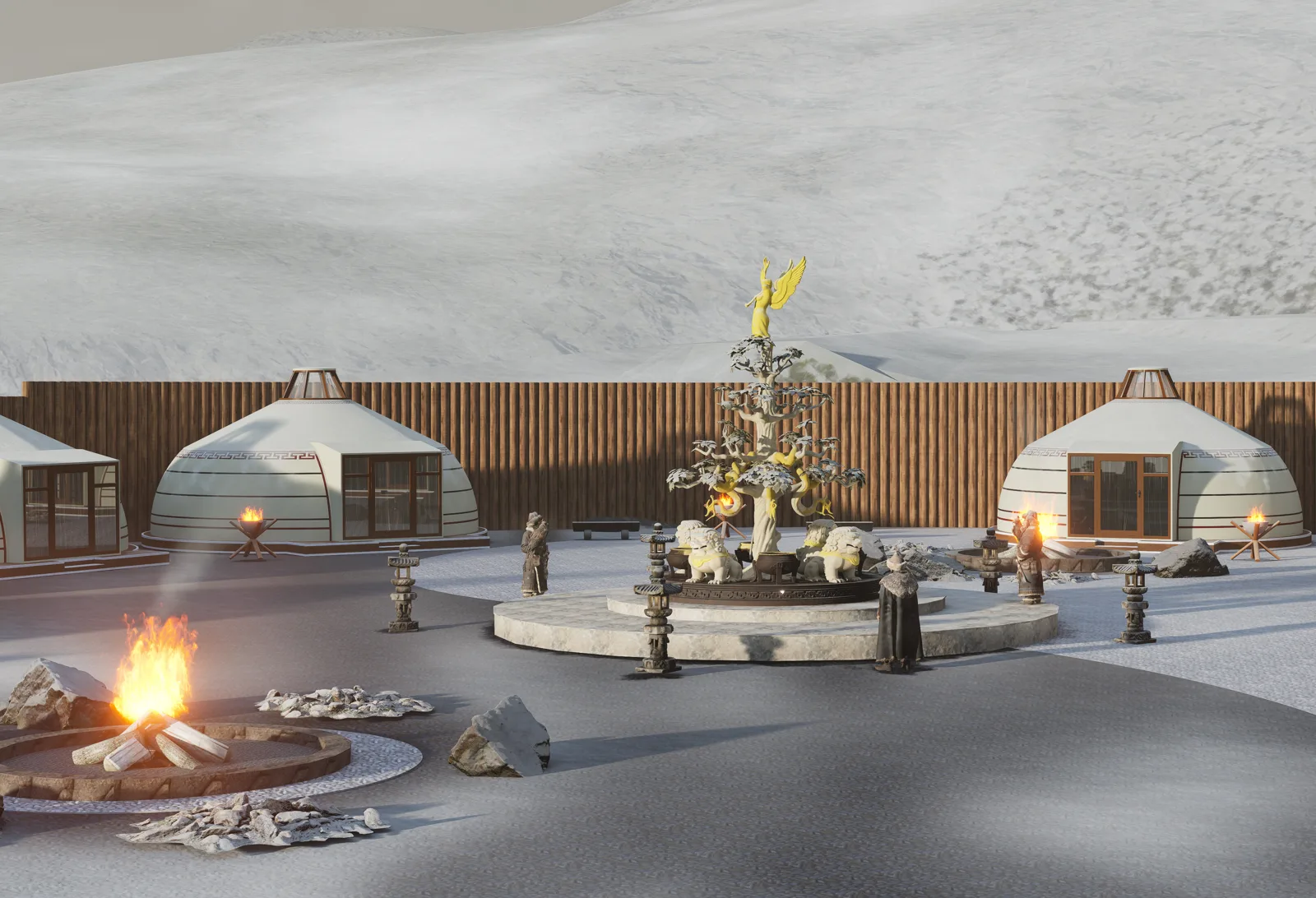
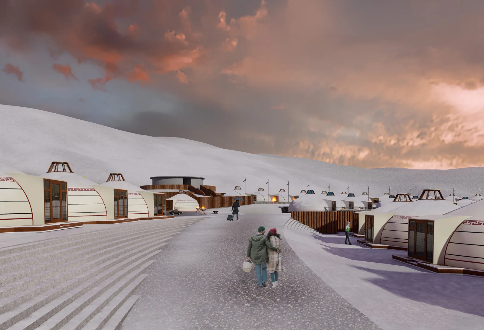
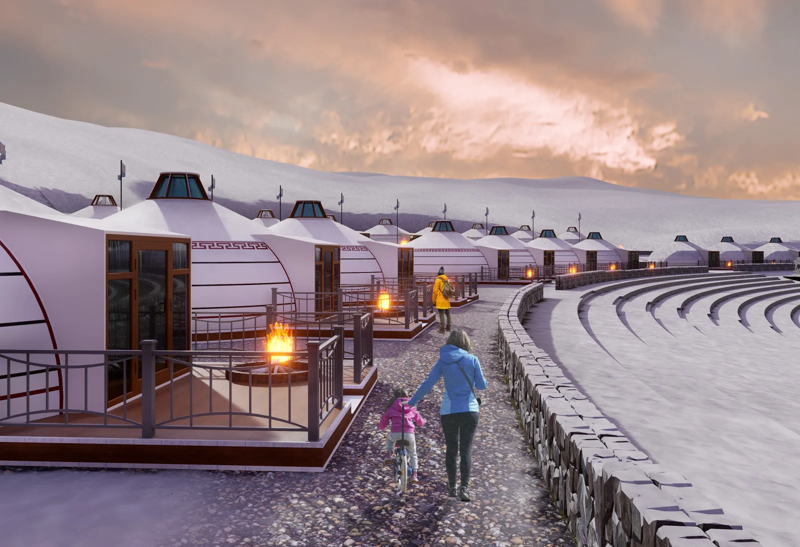
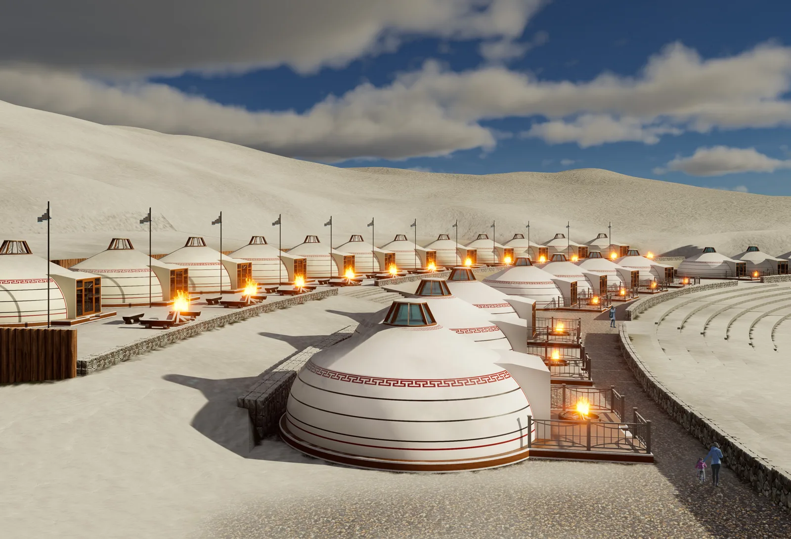
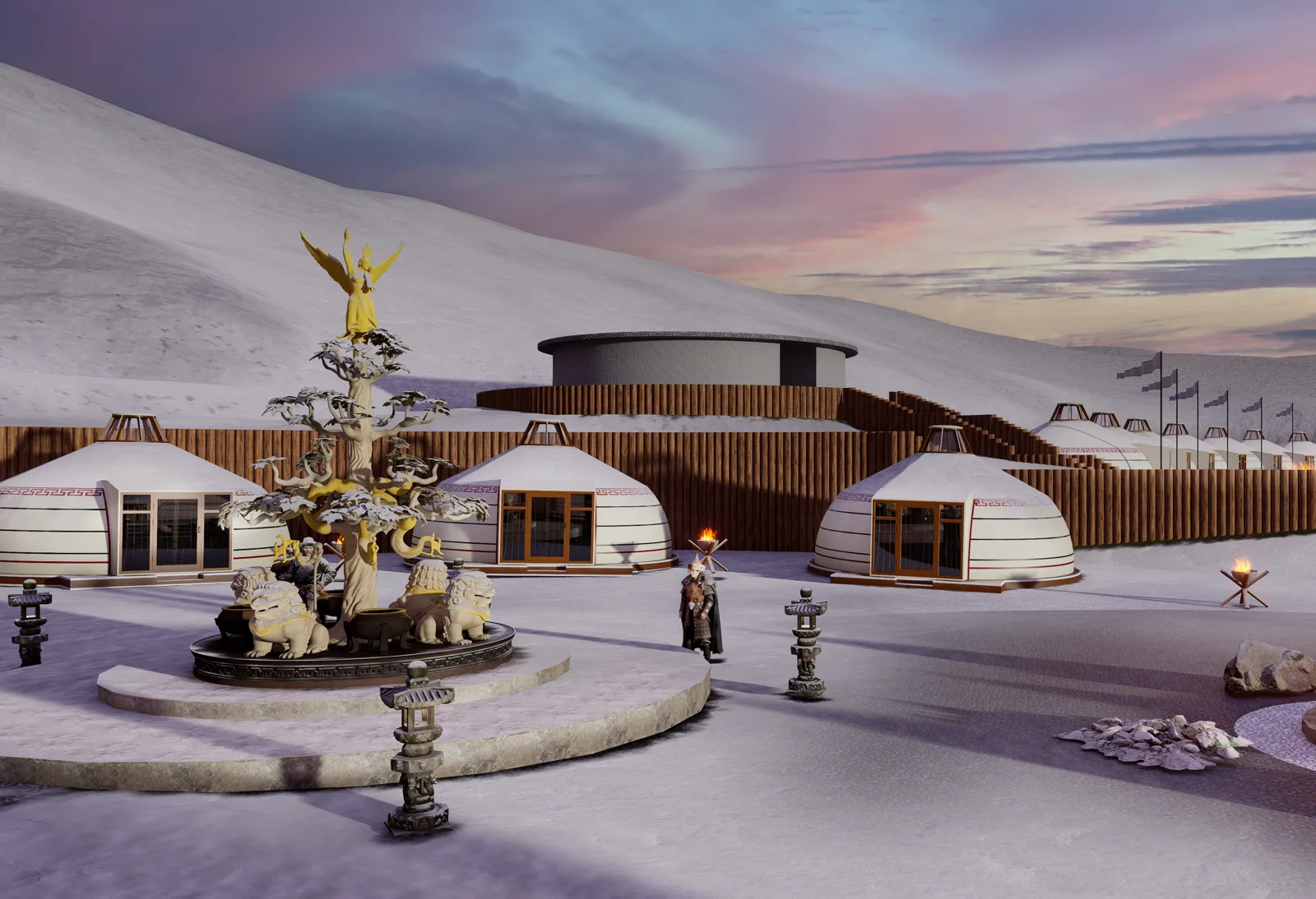
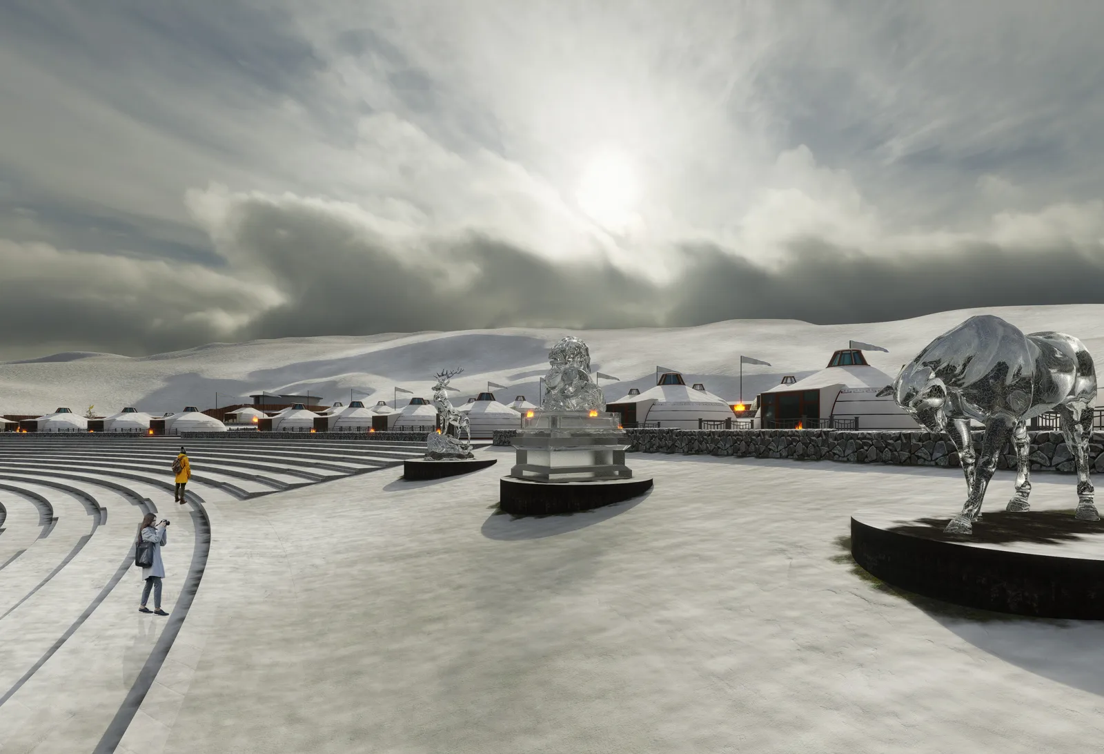
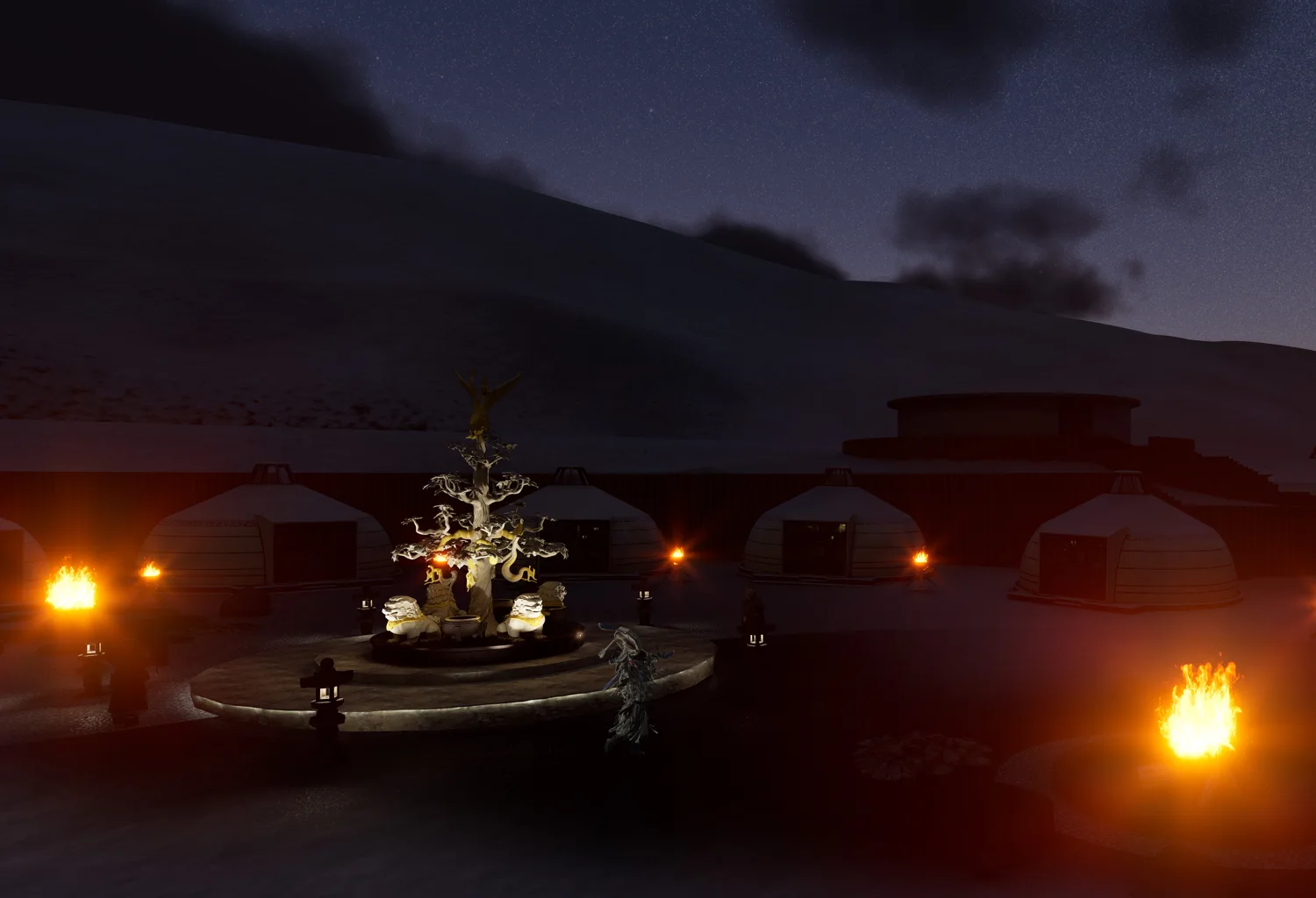
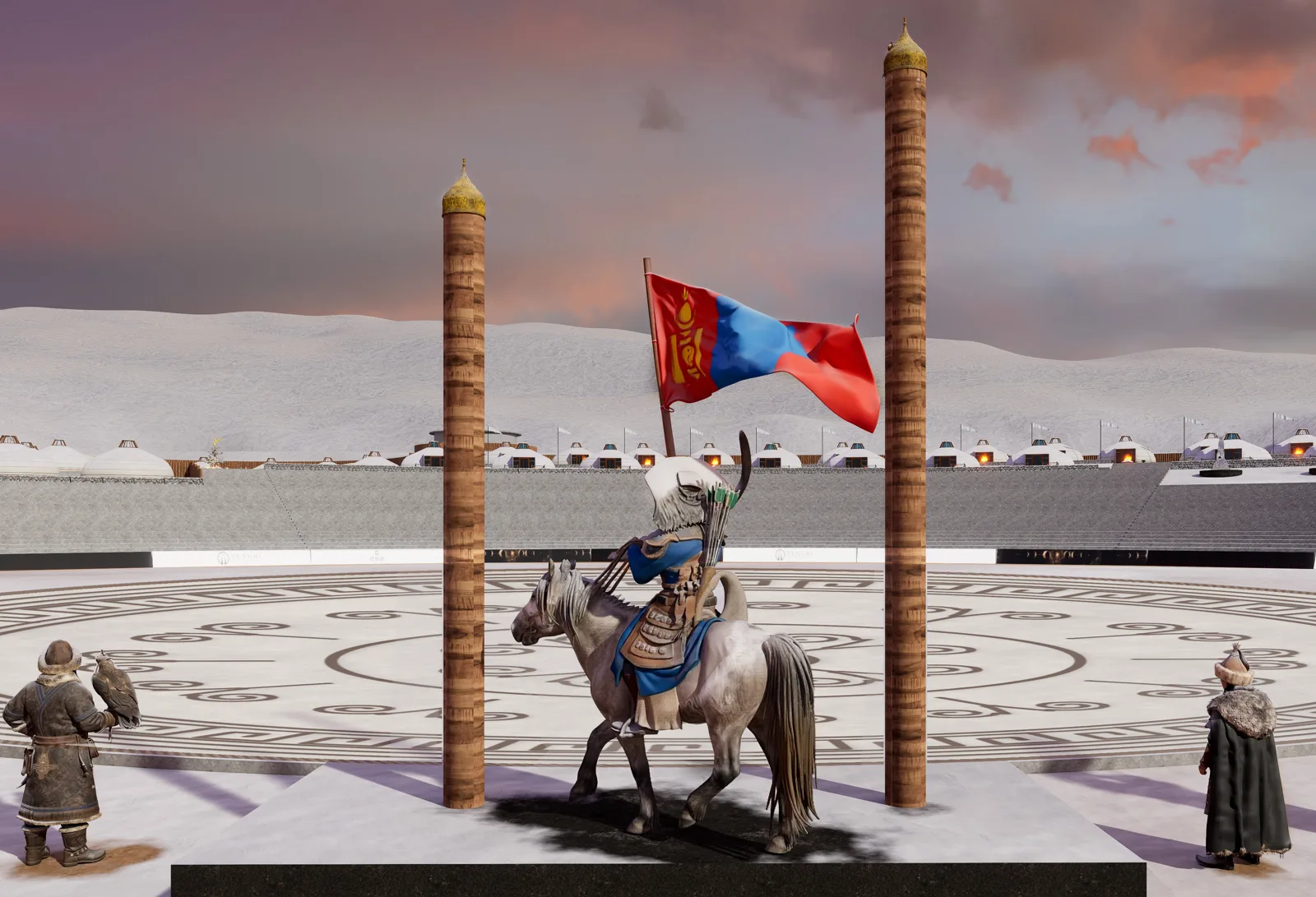
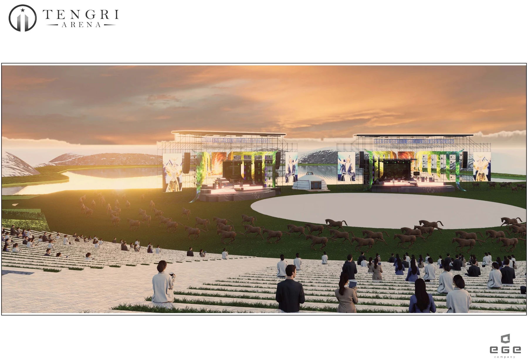
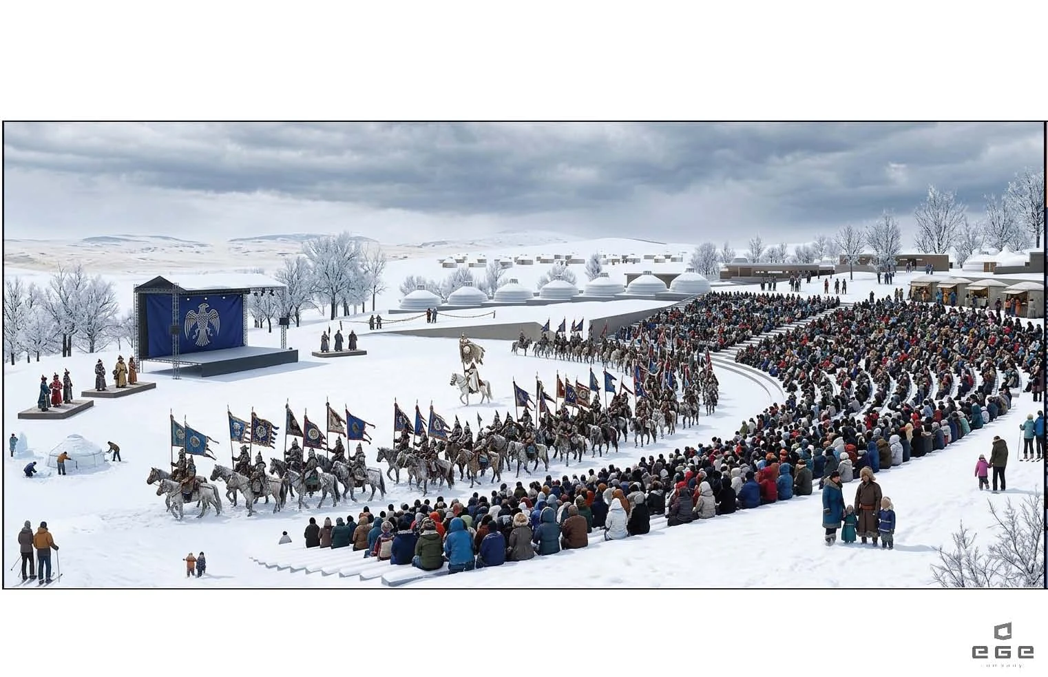
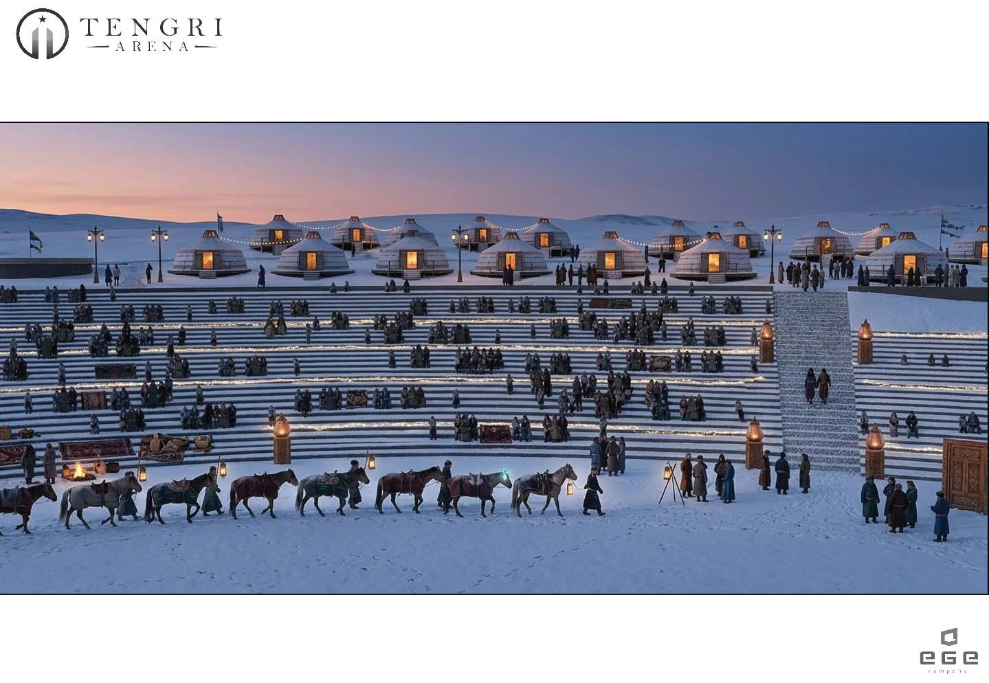
The architectural vision.
The ten-view architectural study and three additional concepts from the presentation. These are design visualizations, not a completed venue. Select an image for a closer look.
Planning your visit?
Ask the organizer about confirmed access and visitor arrangements.